With a total of 2 to 4 inches predicted for Saturday, the advisory is in effect for the Hudson Valley, New York City and parts of Long Island as well. A Winter Storm Warning is in place for eastern Connecticut, where more snow is expected to fall.
Heavy winds of 15 to 25 mph and gusts of up to 35 mph will continue, lowering visibility to a quarter of a mile at times. Temperatures will stay near 32 degrees.
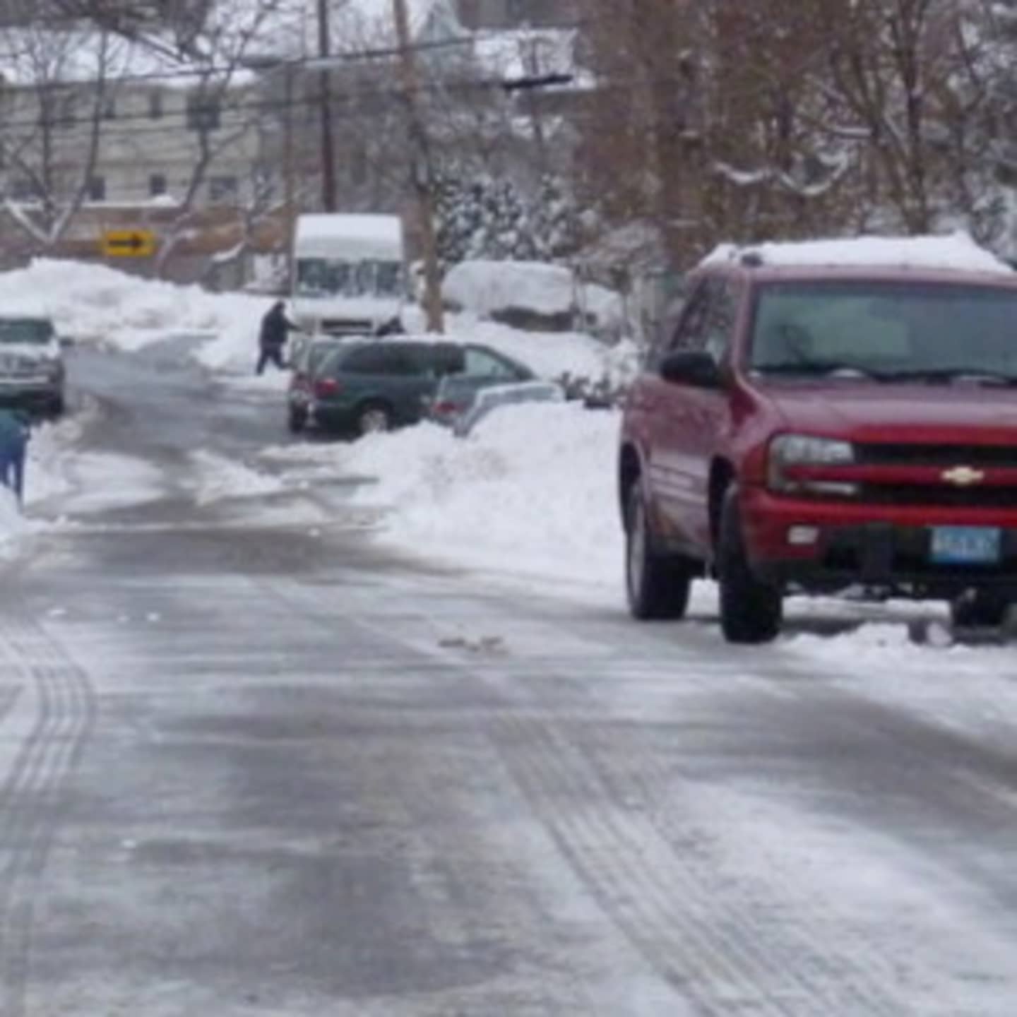
Blowing and drifting snow from this storm and from the snowpack from this week's nor'easter will also affect traffic. Traffic will be slow-going on snow-covered roadways from late morning into the evening, the weather service said.
Drivers are urged to use caution.
It will be a deep freeze Saturday night, as temperatures will dip into the low teens with wind chill values as low as zero with winds of 15 to 17 mph and gusts as high as 29 mph.
There is a slight chance of snow flurries Sunday afternoon and evening with high temperatures in the 20s and strong winds under partly sunny skies. Night-time temperatures will dip again into the single digits.
Presidents Day will be sunny with high temperatures in the 20s. Snow is likely after midnight. There is a 50 percent chance of snow before noon Tuesday.
But Wednesday and Thursday will be partly sunny, with highs in the mid-40s, which could begin to melt the icy snowpack.
Click here to follow Daily Voice Westport and receive free news updates.